
Orthophoto
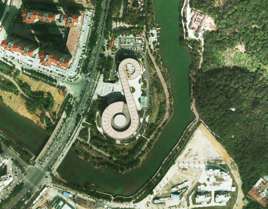
Feiyan Technology specialises in high-resolution orthophoto map production including digital orthophotos and orthophoto mosaics from raw aerial survey photography and digital image capture. Orthophotos combined with a topographic mapping project give a precise reference backdrop tool that enhances the users understanding of any project area. Combined into orthophoto mosaics the imagery can cover large areas such as a catchment, river basin, highway or even local government area.
Features & Benefits of Orthophoto
Orthophoto is an aerial photograph that has been geometrically corrected or ortho-rectified so that the scale of the photograph is uniform and utilised in the same manner as a map. An orthophotography can be used to measure true distances of features within the photograph. Planimetric corrections have been applied to remove lens distortions and optics, camera angle, and differences in elevation through a process of measuring ground control points to connect the photo to the ground, in a drawing-pin like manner. An orthophoto is an accurate representation of the Earth' s surface. Orthophoto has the benefits of high detail, timely coverage combined with the benefits of a map including uniform scale and true geometry.
Specifications of Orthophoto
Resolution: 0.1m
Project area: 4,200km²
Duration: 90 days
Output: DOM(1:1000)
Application: The Third National Land Survey of Putian City
From: Putian City Land and Resources Bureau
Other products from the manufacturer
Published by

|
Feiyan Aerial Remote Sensing Tech Co., Ltd.
China Founded in 2003, Feiyan Aerial Remote Sensing Tech Co., Ltd. has been the nation’s largest independent geospatial data firm that provides geographic insights to many of the most influential projects in China. An industry leader in advanced mapping technology, Feiyan delive ... |