
DTM Digital Terrain Model
Veröffentlicht von
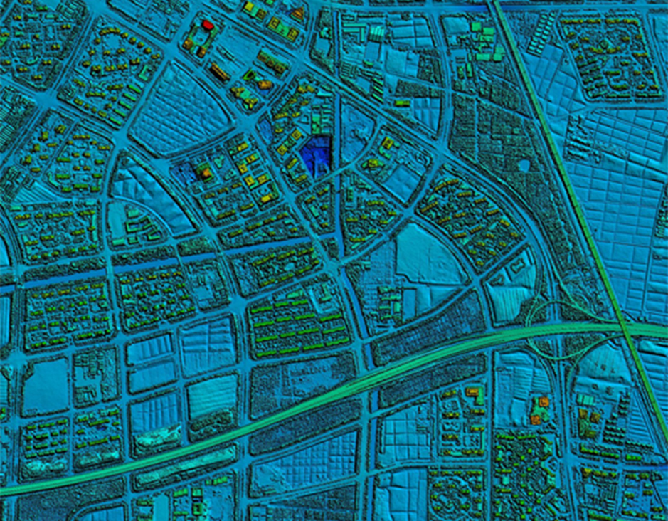
DTM Digital Terrain Model is a digital elevation model in which terrain data has been further enhanced with breaklines, creating greater accuracy as it contains additional information defining terrain in areas where Lidar data alone is unable to do the job effectively.
Terrain models are based on point clouds obtained during airborne laser scanning. A Digital Terrain Model (DTM) is a true representation of the terrain relief. When we supplement it with extra information about objects on the surface, we can create a Digital Surface Model (DSM). Being a universal tool, terrain models can be used for determining slope and elevation, but also for identification of landforms and discovery or inventory of archaeological objects.
Feiyan Technology also generates fully detailed DTM Digital Terrain Model for contour generation, orthophoto rectification, and flood plain mapping.
Specification of DTM Digital Terrain Model
Resolution: ≥2 points/m²
Project area: 31,934 km²
Duration: 1 month
Output: DSM,DEM,classified point clouds
Application: forestry planning
Accuracy: ≥98%
Grid spacing: 2m
From: Guangxi Forestry Bureau
Weitere Produkte vom Hersteller
Veröffentlicht von

|
Feiyan Aerial Remote Sensing Tech Co., Ltd.
China Founded in 2003, Feiyan Aerial Remote Sensing Tech Co., Ltd. has been the nation’s largest independent geospatial data firm that provides geographic insights to many of the most influential projects in China. An industry leader in advanced mapping technology, Feiyan delive ... |