
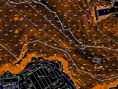
DLGs Topographic Mapping
DLGs Topographic Mapping Supplier - Feiyan Technology
Sensor: DMC II-230
Flight platform: Cessna 208B
Height: 2300m
Resolution: 0.2m
Project area: 8,500km²
Duration: 4 days
Output: DEM, orthophoto or video version
A topographic map is a type of map with a detailed representation of surface. The topographic map depicts ground relief (landforms and terrain), drainage (lakes and rivers), forest cover, transportation routes and facilities, governmental borders, populated areas and man-made objects.
Weitere Produkte vom Hersteller
Veröffentlicht von

|
Feiyan Aerial Remote Sensing Tech Co., Ltd.
China Founded in 2003, Feiyan Aerial Remote Sensing Tech Co., Ltd. has been the nation’s largest independent geospatial data firm that provides geographic insights to many of the most influential projects in China. An industry leader in advanced mapping technology, Feiyan delive ... |